Ylitornio
A sky with a long history.
23.68° E
Around Ylitornio, looking into the distance is part of the place’s history. Aavasaksa gives a daytime visit a sense of discovery before the stars take over.
Check Ylitornio on the live map Explore places nearby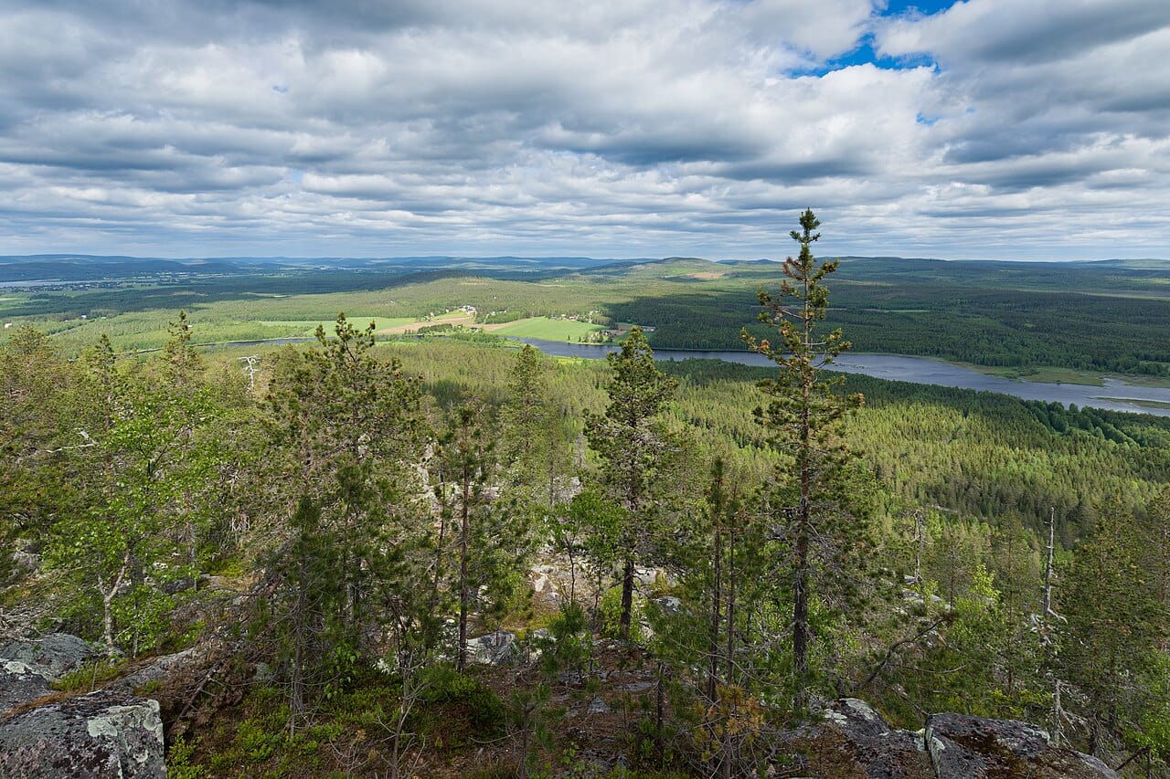
Visit a landscape that helped measure Earth
Aavasaksa is a Struve Geodetic Arc site above the Tornio valley. Give its landscape and survey history time in daylight. Understanding the view makes the evening richer even if no aurora appears. [1]
Separate the landmark from the night plan
The hill’s historic pavilion, Keisarinmaja, adds another reason to explore. Check current access to the summit area before returning after dark. A heritage attraction’s location does not establish the opening of a building, tower or winter path. [2]
Keep a valley option
Compare Ylitornio’s dark hours and cloud outlook before choosing the hill or a suitable lower view. Scout where lights, trees and shelter sit around your actual base. A comfortable place you can revisit often gives you more time with the sky. [2]
Plan an evening
A place is only part of the forecast.
Current regional activity, hourly cloud forecasts and computed darkness tell different parts of the story. Compare them on the live map before deciding where to go. A quieter signal does not rule out a display, and a higher signal cannot remove cloud.
How to read an aurora forecastMake a day of it.
Find a cabin, a good meal or somewhere to wander around Ylitornio. Explore current Google Places listings on the map.
Local sources
Sources checked ·