Pallas
Let the fells hold the horizon.
24.12° E
Pallas can make the sky feel enormous. Its rounded fells provide the scale; your evening becomes better when you choose how much of that landscape to enter.
Check Pallas on the live map Explore places nearby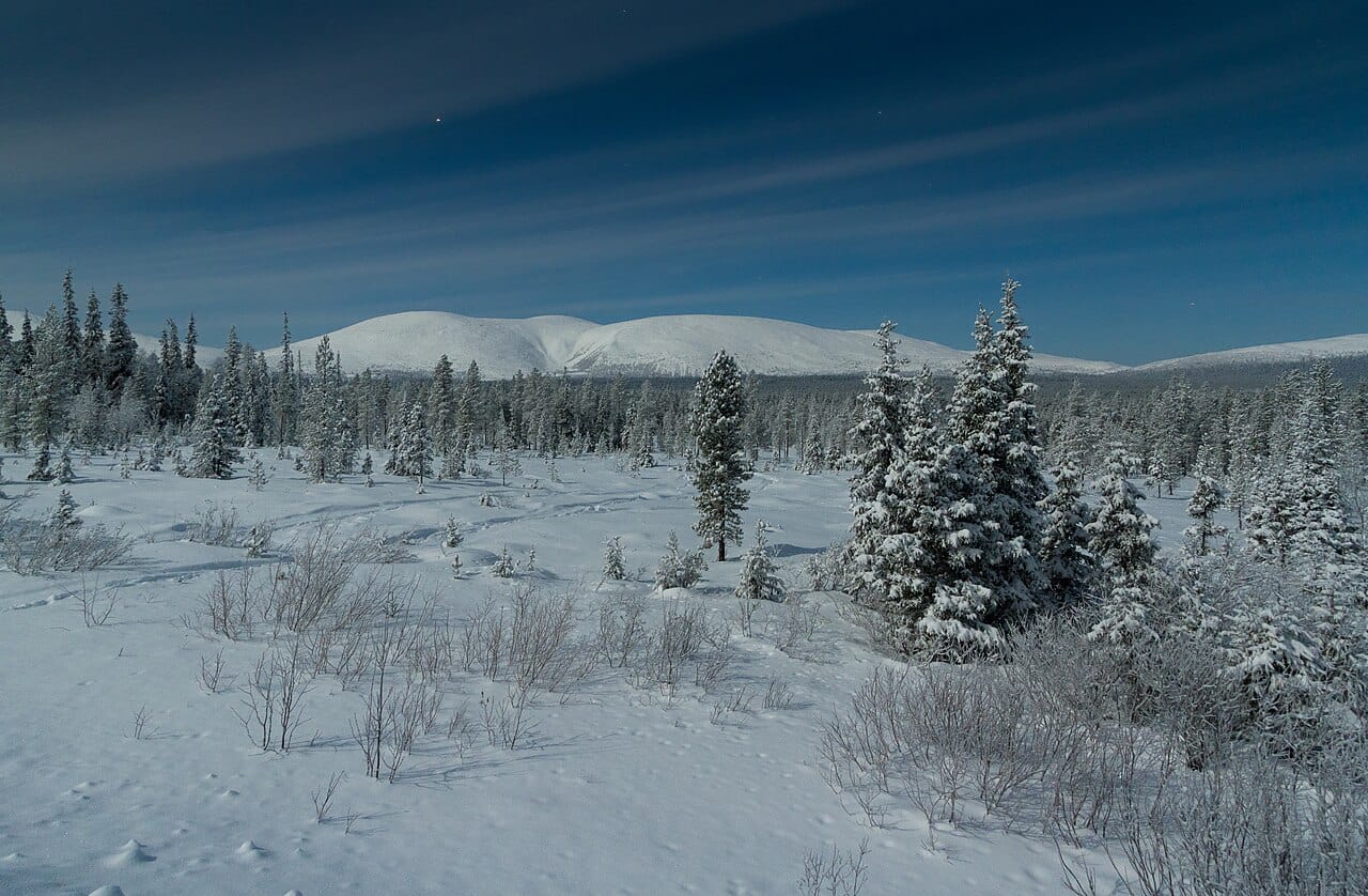
Recognise the skyline
The Pallastunturi fells rise through forest into open terrain, with Taivaskero the highest summit. You can appreciate that skyline from below. A summit photograph is inspiration for a landscape, not an instruction for tonight’s route. [1]
Choose a route for this season
Use Pallas-Yllästunturi National Park’s current trail and conditions information to choose your outing. Separate a brief look outside from a fell hike. If wind or visibility makes the higher ground uninviting, keep your evening closer to your base. [2]
Keep the sky check simple
Read Pallas’s cloud outlook at the hour you intend to be out, then check darkness and current aurora activity separately. Bring a return point into the plan before chasing a distant gap. Open terrain is valuable only when you can comfortably remain there. [2]
Plan an evening
A place is only part of the forecast.
Current regional activity, hourly cloud forecasts and computed darkness tell different parts of the story. Compare them on the live map before deciding where to go. A quieter signal does not rule out a display, and a higher signal cannot remove cloud.
How to read an aurora forecastMake a day of it.
Find a cabin, a good meal or somewhere to wander around Pallas. Explore current Google Places listings on the map.
Local sources
Sources checked ·