Karigasniemi
A river border beneath the fells.
25.84° E
Karigasniemi has the energy of a meeting place: river landscapes, cross-border journeys and a village worth returning to after the last look at the sky.
Check Karigasniemi on the live map Explore places nearby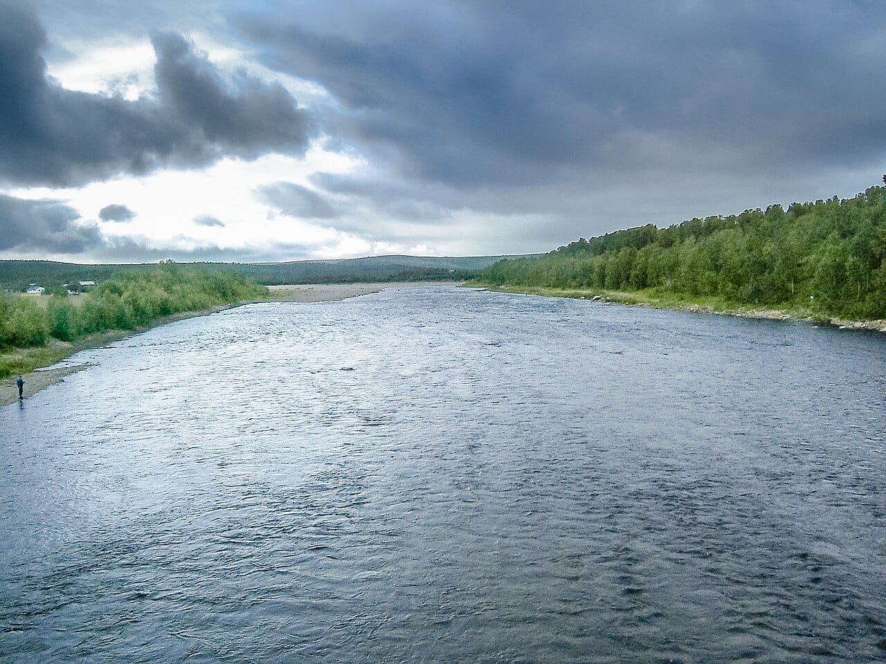
Begin with the valley
Karigasniemi sits by the Norwegian border and the Teno river landscape. Route 970 continues towards Utsjoki. Enjoy that road as a daylight journey first, when you can understand its bends, settlements and suitable stopping places. [1]
Use the village map, not a photograph
Locate your accommodation and services on the official Karigasniemi map. Ask where a visitor can stand without blocking a driveway or relying on a roadside shoulder. A clear northern view can be more useful than the most dramatic foreground. [2]
Make distance earn its place
Before following the river in search of northern lights, compare Karigasniemi’s own dark hours and cloud outlook. A forecast difference needs to be large enough to justify the return journey. If the valley is already clear, give your eyes time and stay with it. [2]
Plan an evening
A place is only part of the forecast.
Current regional activity, hourly cloud forecasts and computed darkness tell different parts of the story. Compare them on the live map before deciding where to go. A quieter signal does not rule out a display, and a higher signal cannot remove cloud.
How to read an aurora forecastMake a day of it.
Find a cabin, a good meal or somewhere to wander around Karigasniemi. Explore current Google Places listings on the map.
Local sources
Sources checked ·